01
Highways & Bridges
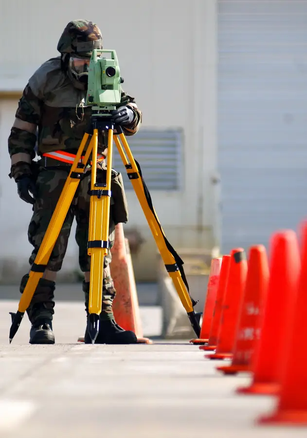
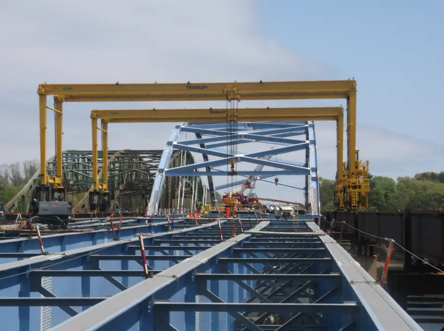
Alignment control, structure layout and deck surveys for state and municipal corridors.
Construction survey & technology · Arizona · Since 2009
Freeways, bridges, tunnels, pipelines and airfields. We turn plan data into precise, buildable reality.
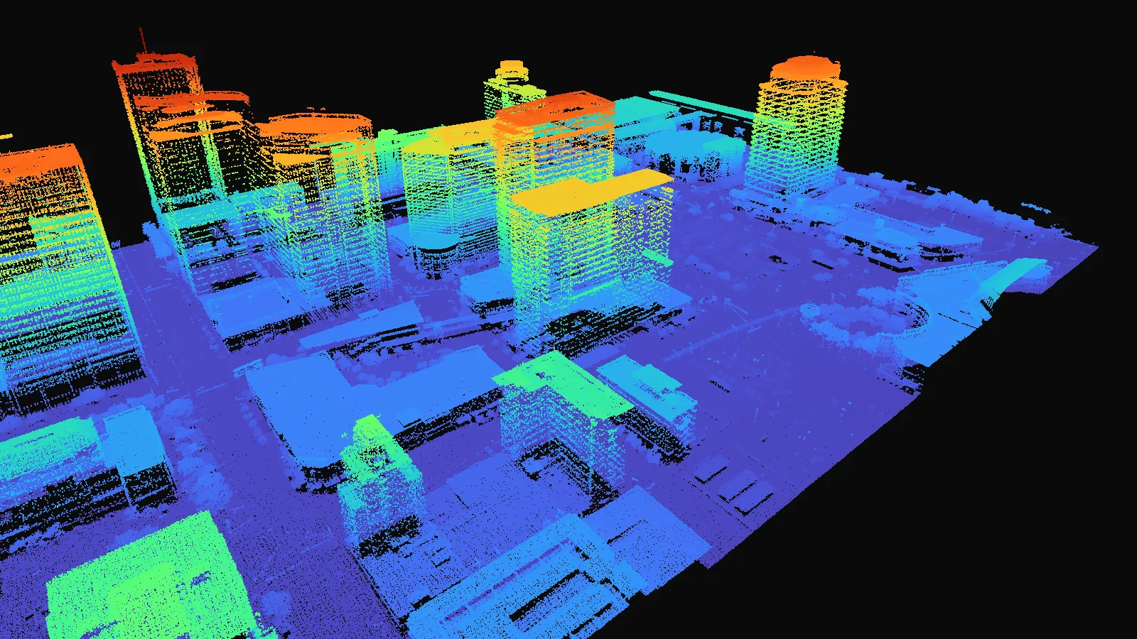
One scan
5,241,988
measured points describing 61 acres of downtown Phoenix, every tower, tree and curb exactly where it stands.
Fly through it01Who we are
Since 2009 we have helped builders put every footing, beam and curb exactly where the drawings say it belongs. Experienced field crews backed by 3D machine control, LiDAR and drone mapping keep demanding projects on line, on grade and on schedule.
Years in the field
Founded in 2009
Projects delivered
Vertical, civil & industrial
Bridges staked
State & municipal work
Field crews
Plus an in-house UAS team
02What we do
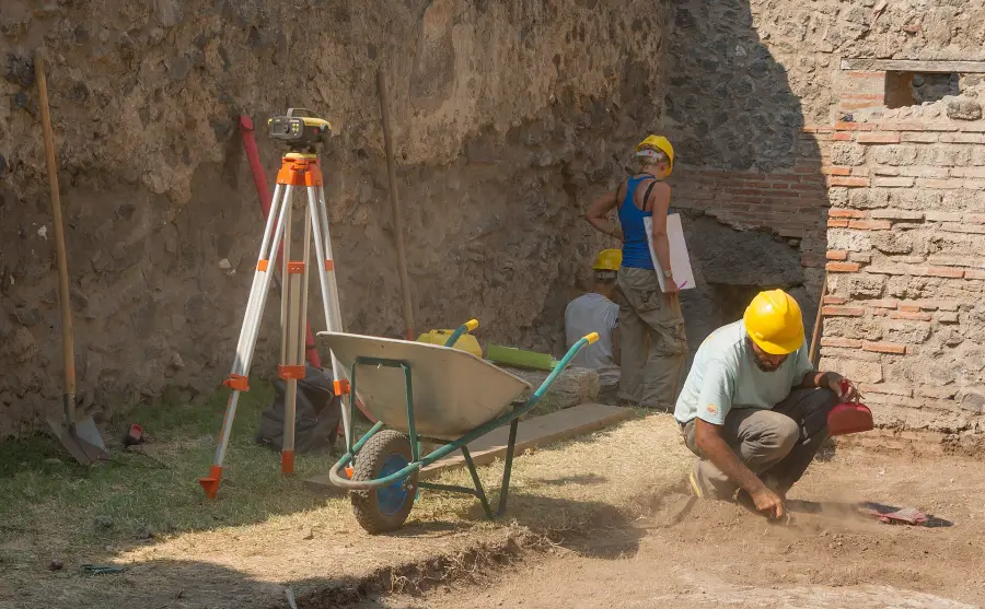
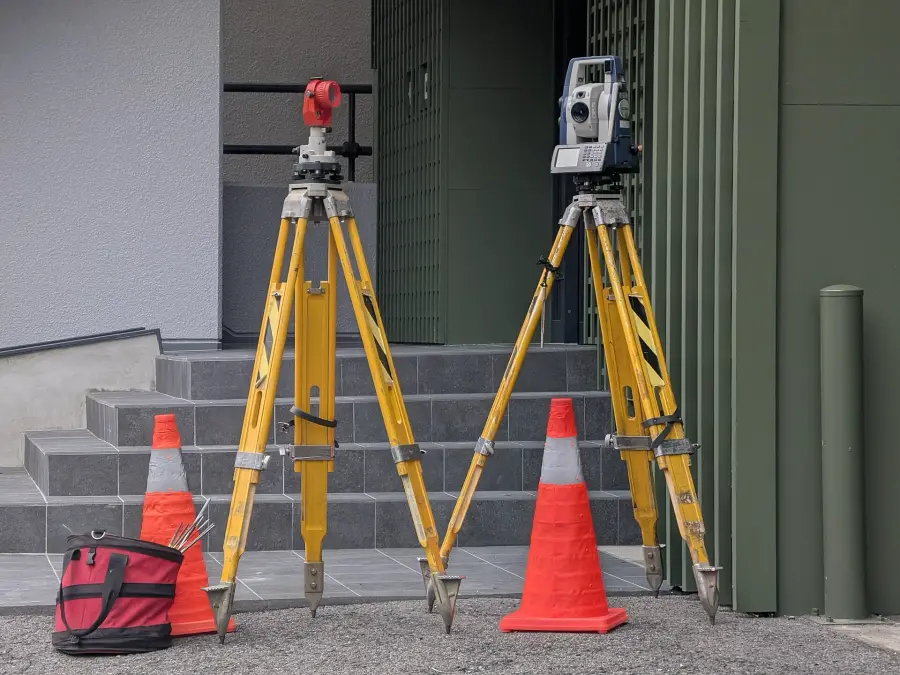
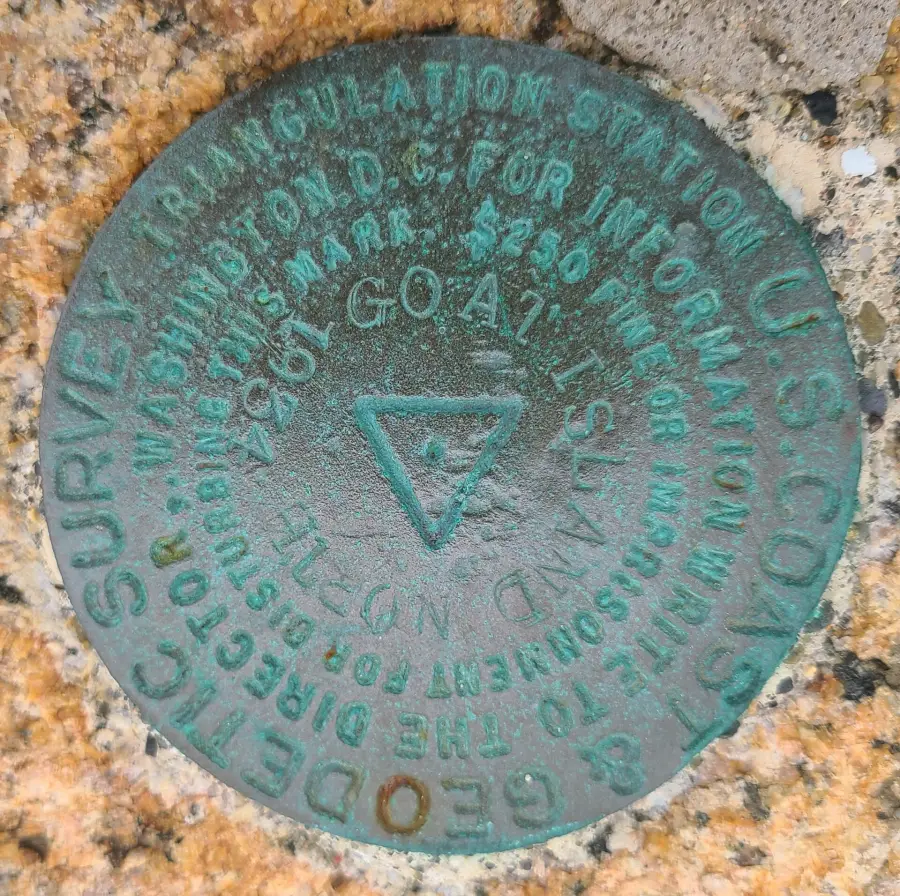
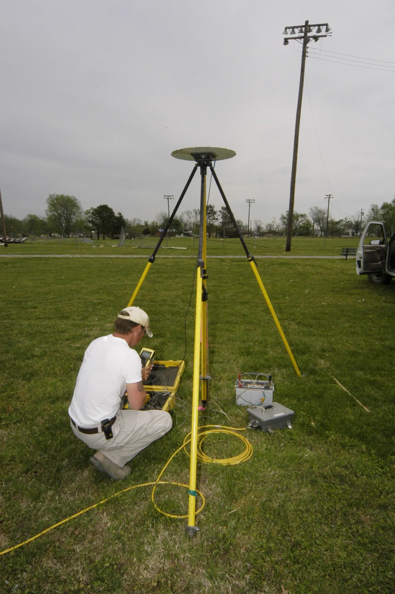
Control networks, structural and site layout, topographic surveys and pre-pour verification, run with robotic total stations, GNSS and digital levels, then closed out with as-built documentation your owner can trust.
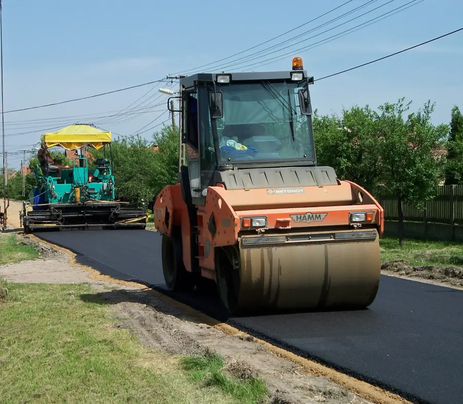
Clean, field-ready surface models for grading and paving, loaded and supported on your machines so dozers, excavators and pavers cut to design the first time.
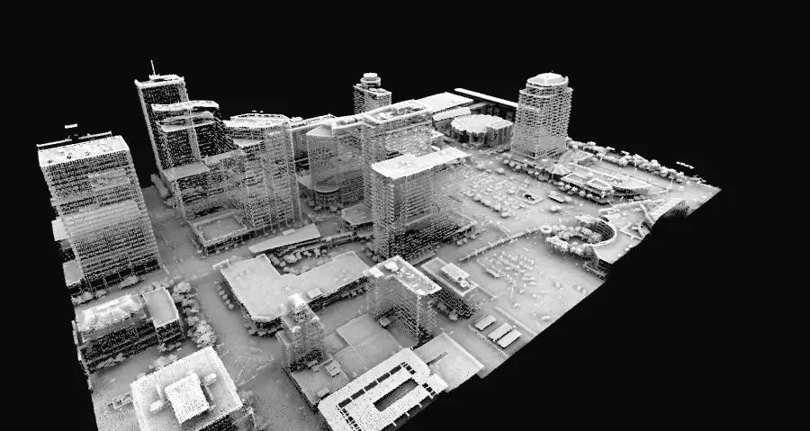
Terrestrial scanning and drone LiDAR turn a site into dense, measurable point clouds, orthophotos and surfaces for design, inspection and progress tracking.
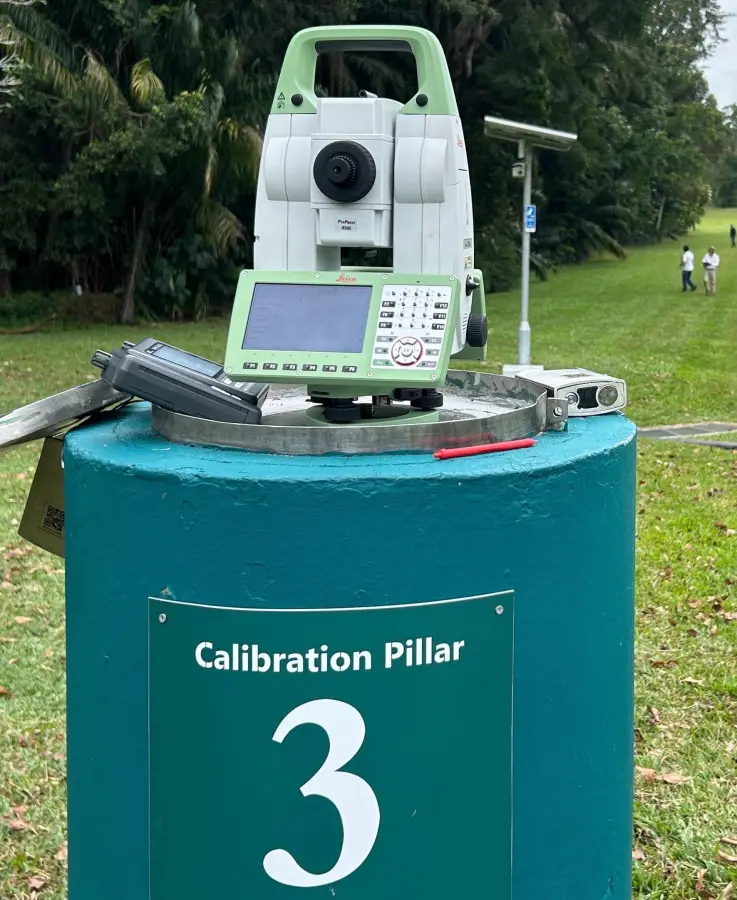
BIM coordination, field controllers, site radio and networking, and drone program management, wired together so the office, the crews and the machines all work from one current model.
03Where we work
From fast-track federal work to theme-park steel, our crews thrive where tolerances are tight and the stakes are high.
Alignment control, structure layout and deck surveys for state and municipal corridors.
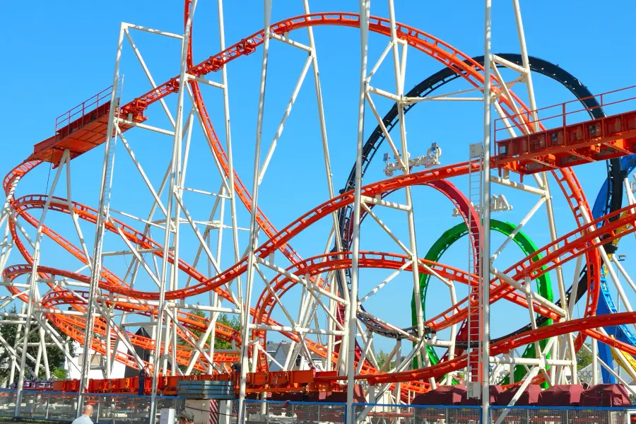
Anchor bolts, footings and track geometry where a few millimeters matter at 60 mph.
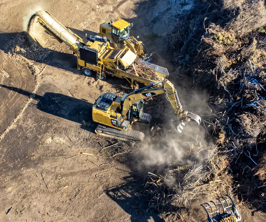
Mass grading, subdivisions, landfills and mine sites, modeled, staked and measured at scale.
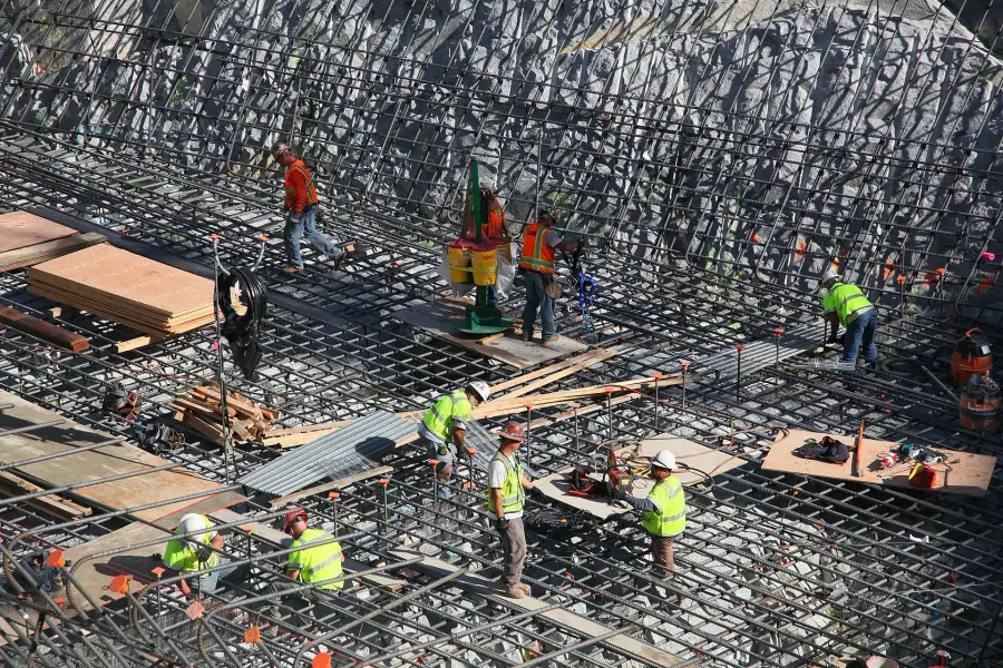
Column grids, embeds and deck elevations for towers, campuses and parking structures.
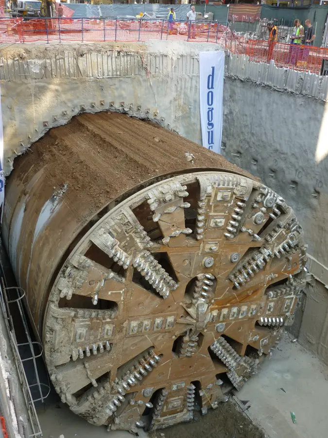
Guidance control and as-built scanning that keep bores and utility corridors on alignment.
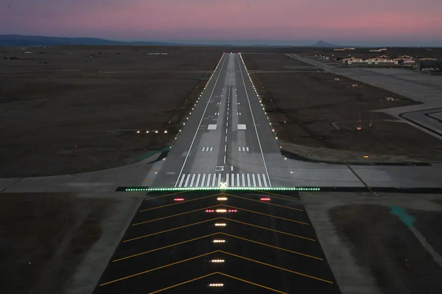
Runway, taxiway and apron surveys built around tight grade tolerances and short closures.
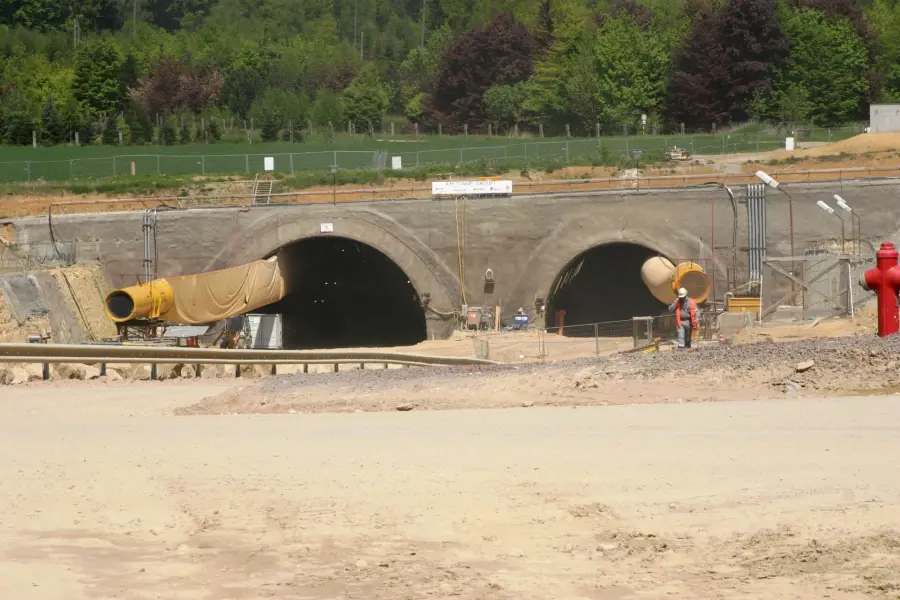
Culverts, channels, levees and pump stations, where every hundredth of a foot moves water.
Custom modeling that keeps industrial railroad and transportation projects on track.
04Selected work
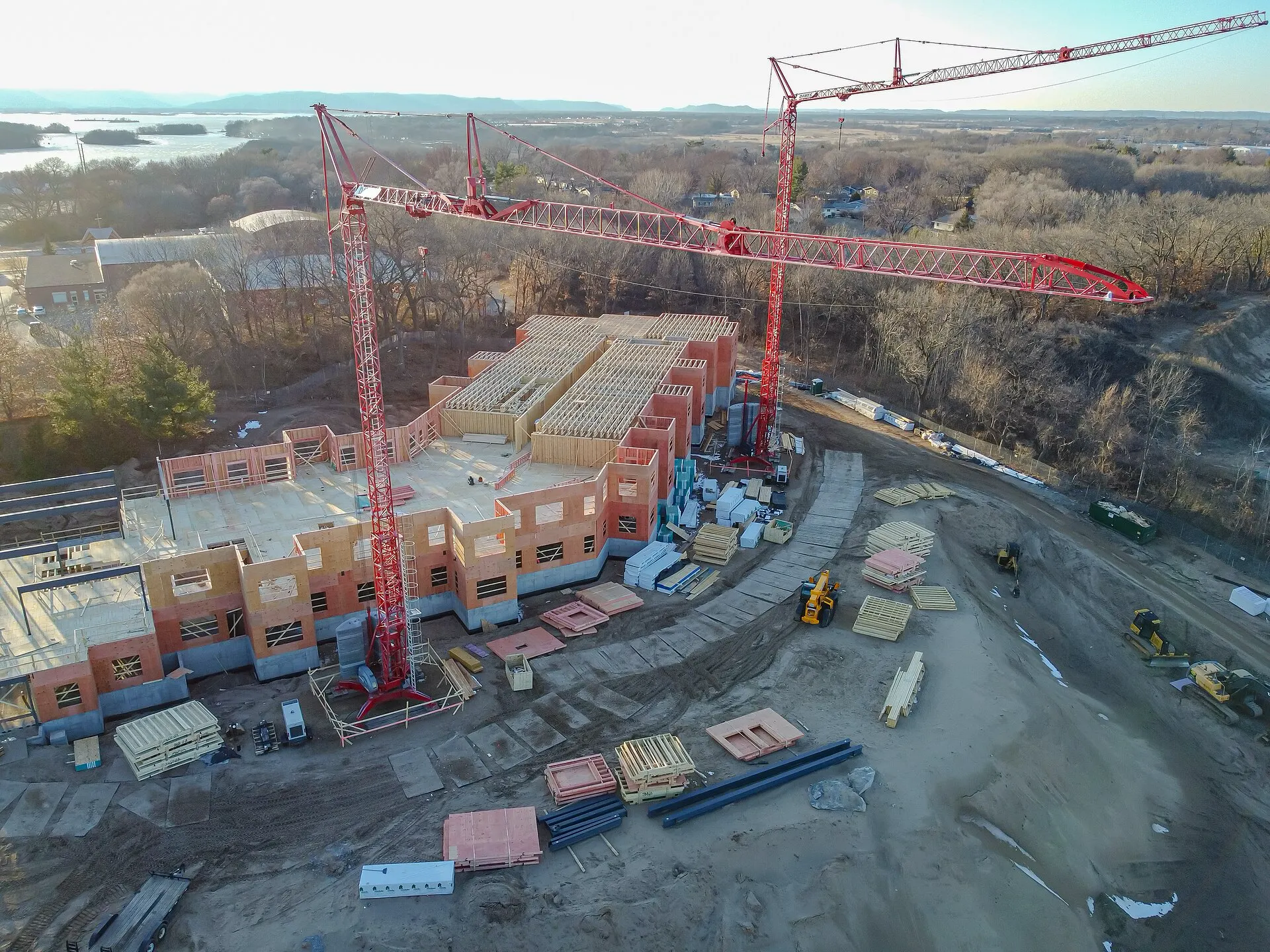
Vertical · Healthcare
Four towers, a central plant and a parking structure rising on one tight urban block, with three tower cranes sharing the sky.
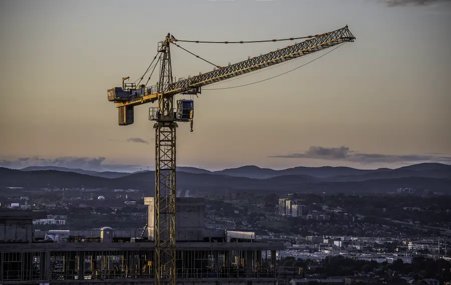
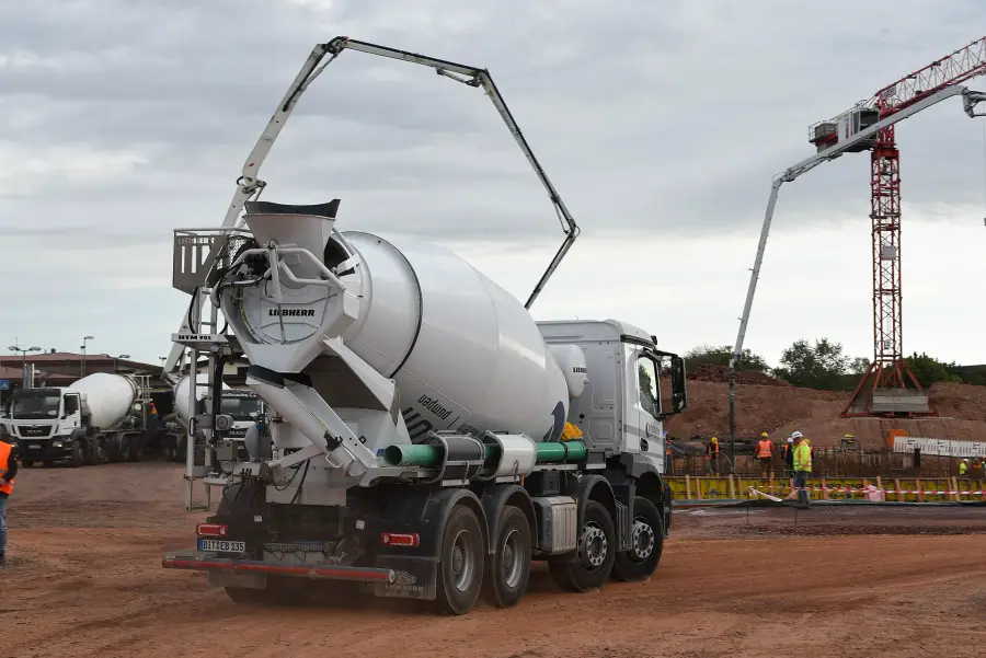
Three years of route staking, bore guidance and weld-by-weld as-builts on a natural gas transmission line, from the first right-of-way stakes to final tie-ins at the compressor station.
of 30-inch line
HDD crossings
welds as-built
program
05How we work
We review the plan set, tolerances and schedule with your team, then design a control network and survey plan that fits the way you build.
Robotic total stations, GNSS rovers, laser scanners and survey drones capture dense, precise data in the field.
Raw observations become checked models, surfaces and deviation reports, delivered in the formats your designers and machines already use.
The same crew stays with you to turnover, answering field calls fast and closing out with as-built documentation the owner can trust.
06The toolkit
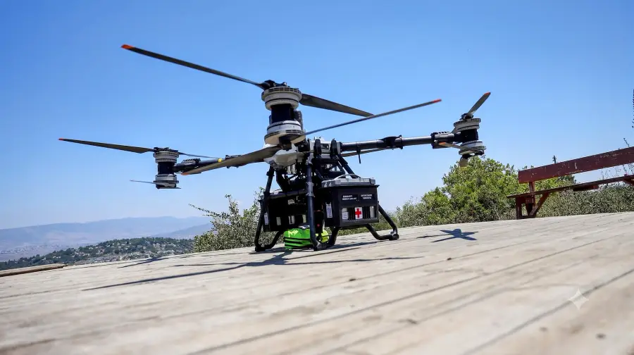 01
Aerial mapping & LiDAR
 02
Layout & scanning
 03
Positioning
Interactive
Three million points of downtown Phoenix. Fly between the towers, read real-world coordinates and switch between intensity and elevation views.
07Client word
Gridline & Grade ran the tightest layout program we have had on a structure this size. Their crew caught a column-grid conflict a week before the pour and saved us a rework we would still be paying for.
Credentials
08Careers
We are always looking for the right new teammate. If precision, big projects and new technology get you out of bed in the morning, we would like to hear from you.